Moody Ecology

Reservoir Wetlands
Understanding the environmental factors leading to wetland formation in eastern Kansas reservoirs


A wetland is defined as blah blah blah. In Kansas, the creation of large reservoirs provide the opporunity for the development of shoreline wetlands. This project seeks to discover how and why shoreline wetlands form whre they do in Kansas Reservoirs.
In a small, shallow bottom skiff, we drove along the shorelines of the main branches of the reservoir.

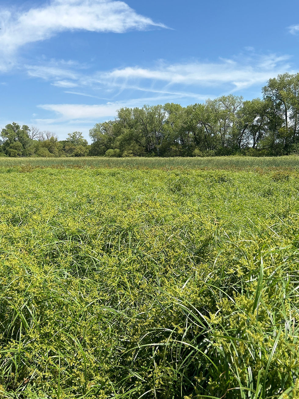
In a small, shallow-bottomed skiff, we surveyed the shoreline of each of the main branches of the reservoir, looking for patches of wetland vegetation.
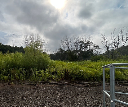
We mapped the locations of large patches of wetlands vegetation, recording the most common wetland plant species in the patch.

For the largest patch of wetland vegetation in each reservoir branch, we sampled the water, soils, and . . .


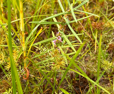
was one of the most common wetland plants we found in this study.
. . . vegetation to confirm the patch's status as a wetland.
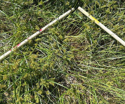
To sample vegetation, I recorded the percent cover of each plant species found in five 1 meter squared sampling plots.

I also created a plant species list, creating an inventory of all the plant species found in the wetland.
I then used Floristic Quality Analysis to provide vegetation-based evidence that the patch is indeed a wetland.